The strongest earthquakes in Cuba
especiales
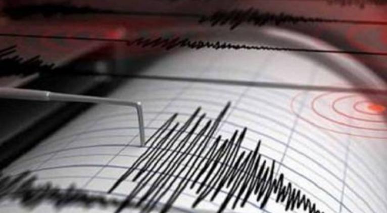
The earthquakes that occurred last Sunday in the central-eastern region of the country, described as moderately strong by the head of the National Seismological Service of Cuba, Doctor of Science Enrique Arango, have taken up another line on the list of concerns of Cubans and raised questions.
Among the latter are the strongest seismic movements that have occurred on the Island and when they occurred.
The National Center for Seismological Research (Cenais), of the Ministry of Science, Technology and the Environment, lists on its website strong earthquakes that have occurred here, and among them, stands out the one that occurred on Tuesday, January 28, 2020 near Cabo Cruz.
According to Cuban experts, this earthquake, which occurred at 2:10 pm, was the largest recorded by instruments in the history of the Cuban seismological service, since 1964.
Its magnitude was 7.1 on the Richter scale and it did not cause human damage or material damage of great magnitude because its epicenter was located in the sea, about 125 kilometers southwest of Cabo Cruz and 145 kilometers southwest of Niquero, Granma, at a depth of about 20 kilometers.
Above all, the tremor was felt in the southeastern part, but there were reports of perceptibility practically throughout the national territory, mainly in tall buildings.
This earthquake had been preceded in significance by the one that occurred, also in the vicinity of Cabo Cruz, in 1992, on May 25 at 12:55 PM, with a magnitude of 6.9.
The earthquake, recalls the newspaper Sierra Maestra, “cracked numerous walls of buildings and caused panic in the population, which led Commander in Chief Fidel Castro Ruz to visit Granma and the headquarters of Cenais, in Santiago de Cuba.”
Other significant earthquakes had occurred before, especially in Santiago de Cuba: in 1947, with a magnitude of 6.6; in 1932, with a magnitude of 6.7; and in 1914, also with a magnitude of 6.7.
Among the first major earthquakes to occur in Cuba, the National Center for Seismological Research records the one that occurred in the then Villa de San Salvador de Bayamo, on October 18, 1551, with a magnitude of 5.8 on the Richter scale.
However, one of the strongest occurred in the colonial era took place in Santiago de Cuba on June 12, 1766, recorded with 7.6 on the Richter scale.
Why the eastern region?
The greatest danger is concentrated in the southeastern area of Cuba because it is linked to the system known as the East Fault, as Dr. Tomás Chuy Rodríguez, a prominent Cenais specialist who died last October, told the Granma newspaper.
Also from that national center, researcher Raúl Palau Clares, in the article Automatic determination of the detection threshold of a seismological network, states that “eastern Cuba is a high seismic risk zone due to its proximity to the plate boundary between North America and the Caribbean known as the Eastern Fault on the south coast from Maisí to Cabo Cruz and on the north coast the extension of the northern fault from Maisí to Moa approximately, these faults are responsible for 90% of the seismic activity and the strongest earthquakes that have occurred in Cuba.”
Notwithstanding these conditions, other geographies of the national territory have also been victims of significant earthquakes such as San Cristóbal, Artemisa (in 1880); Remedios and Caibarién (in 1939), the town of Alonso Rojas, Pinar del Río (in 1981), and Jagüey Grande, Matanzas (1982), as Dr. Chuy Rodríguez recalled four years ago.
What to do before, during and after an earthquake?
It is not possible to predict the time and place where an earthquake will occur, so the most effective thing to do in this regard is to stay informed and prepared to act quickly and effectively when it occurs.
Taking preventive safety as a rule of life and knowing how to act in any disaster situation can avoid regrettable consequences.
Translated by Sergio A. Paneque Díaz / CubaSí Translation Staff










Add new comment