Tropical Cyclones in the Atlantic Basin Will Increase in August
especiales

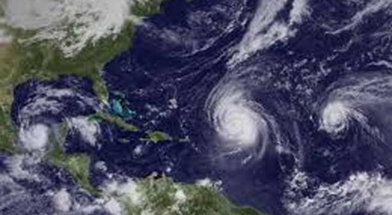
The formation of tropical cyclones in the Atlantic Basin, including the Gulf of Mexico and the Caribbean Sea, will increase particularly during the second half of August, the Granma newspaper reported today.
This period, along with the first 15 days of September, is the most active period of the season.
According to experts, the largest record number of named cyclones - once they reach the tropical storm phase - emerged in a month is eight and is shared between September 2002 and August 2004.
In Cuba it is the third month of greatest danger of whipping, only topped by October and September.
As one of the major hurricanes to hit the Caribbean nation in August, meteorologists remember the 2004 Charley, whose center penetrated the mainland along the south coast of the then Havana province, with category three on the Saffir-Simpson scale.
In 2008, the Gustav category four appeared, which crossed over the western portion of the Isle of Youth and then entered the province of Pinar del Rio, territories where it caused significant material damage.
Although they did not pass through Cuban territory, Andrew also stands out in August 1992, when it devastated areas of South Florida, and Katrina in 2005, which caused a major disaster in the U.S. city of New Orleans, scientists say.
The main area of cyclone formation in the eighth month of the calendar is located in the waters of the tropical Atlantic, between the coasts of Africa and the arch of the Lesser Antilles.
Some usually move west and west-northwest, so some penetrate the eastern Caribbean Sea and then move through the waters south of Cuba towards the Yucatan Peninsula.
Others do so near or on the north coast of Puerto Rico and the Dominican Republic on their way to the Bahamas.
Three cyclonic systems have been registered so far in the current 2018 season: subtropical storm Alberto in May and hurricanes Beryl and Chris in July.


Add new comment