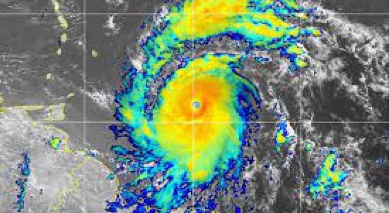
Beryl, the most premature of hurricanes, is already a category 4
especiales

Beryl has already reached category 4 on the Saffir Simpson scale with sustained winds of 255 kilometers per hour (km/h) and is today becoming a historic meteorological phenomenon in the Atlantic cyclonic periods.
The development and rapid intensification of Beryl keeps the Lesser Antilles and the entire Caribbean region on alarm, due to the dangers associated with the passage of this cyclone classified as extremely dangerous by the United States National Hurricane Center (NHC, for its acronym in English).
According to this institution, Beryl is expected to reach the Windward Islands as a Category 4 hurricane on Monday morning, and two of the areas most in danger from its passage will be the Caribbean countries of Grenada and Saint Vincent and the Grenadines.
In its advisory number 8 on this cyclone, the NHC indicated the increased risk of the center of Beryl passing “over portions of Saint Vincent and the Grenadines and Grenada beginning Monday morning.” The NHC warns that, for these areas (and the Windward Islands in general), “potentially catastrophic hurricane-force winds, life-threatening storm surge, and damaging waves are expected.”
Additionally, “heavy rain and localized flooding is forecast across the Windward Islands until Monday.”
Beryl is the earliest Category 4 hurricane recorded in the Atlantic Ocean and the only Category 4 hurricane recorded in the month of June.


Add new comment